

How does it work?
Software Parameters
Pre-Inspection Planning
Assess the inspection area and gather necessary data, such as maps and regulations. Determine the specific objectives of the survey, such as identifying stockpiles, material locations, and acreage.

Data Capture
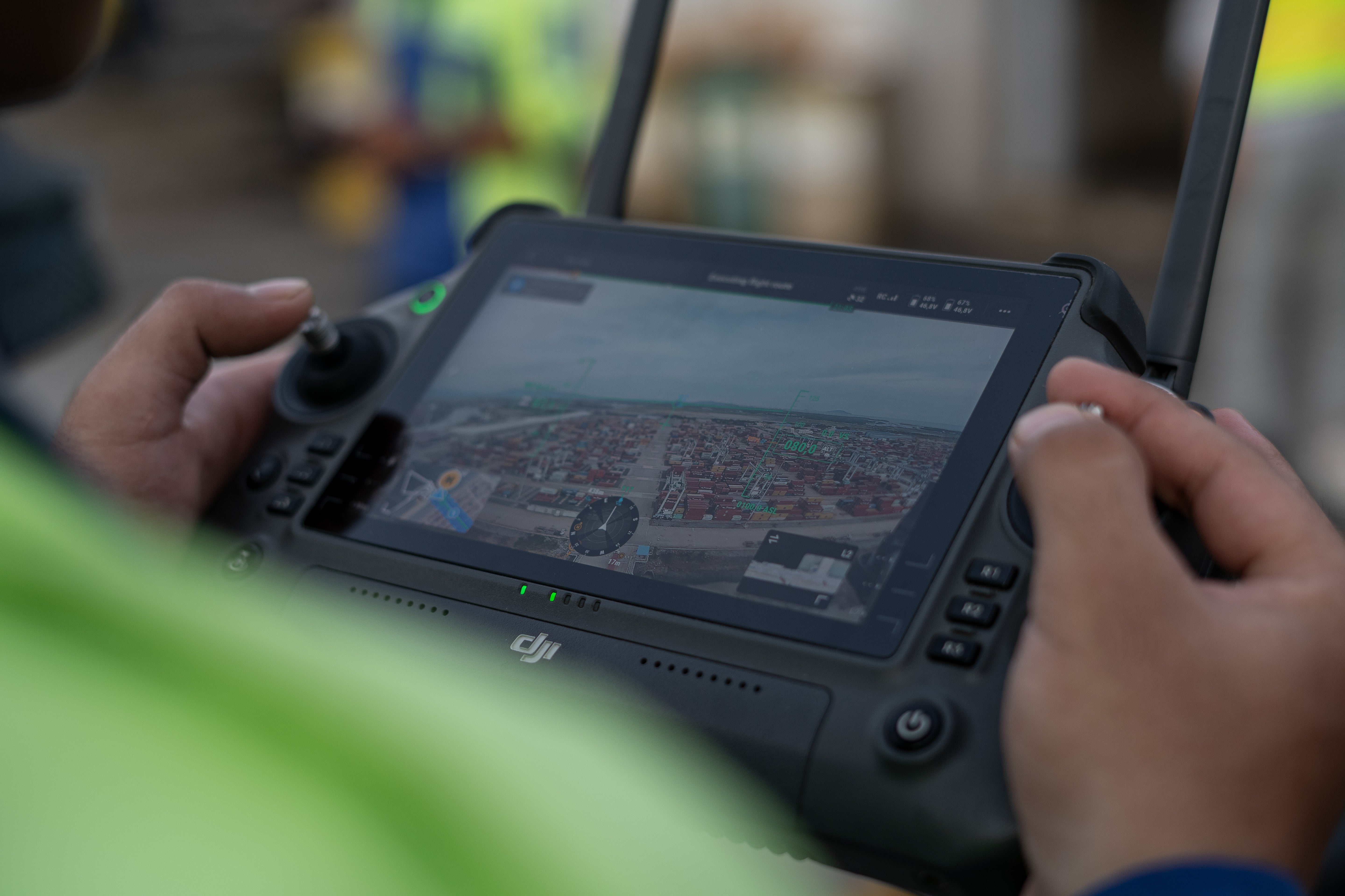
Capture High-Resolution Data
Use the drone’s onboard camera or sensors to capture high-resolution images, video footage, or thermal data of the site. Focus on areas of interest such as terrain containing stockpiles, earthwork progress, and floodplains, ensuring to cover all necessary segments.
Automated Inspections
Custom Software
The drone is equipped with AI or automated inspection software, engage those features to analyze the terrain while the drone is in flight. This can help identify landform changes in environment, stockpile footprints, and construction progress.
Data Processing
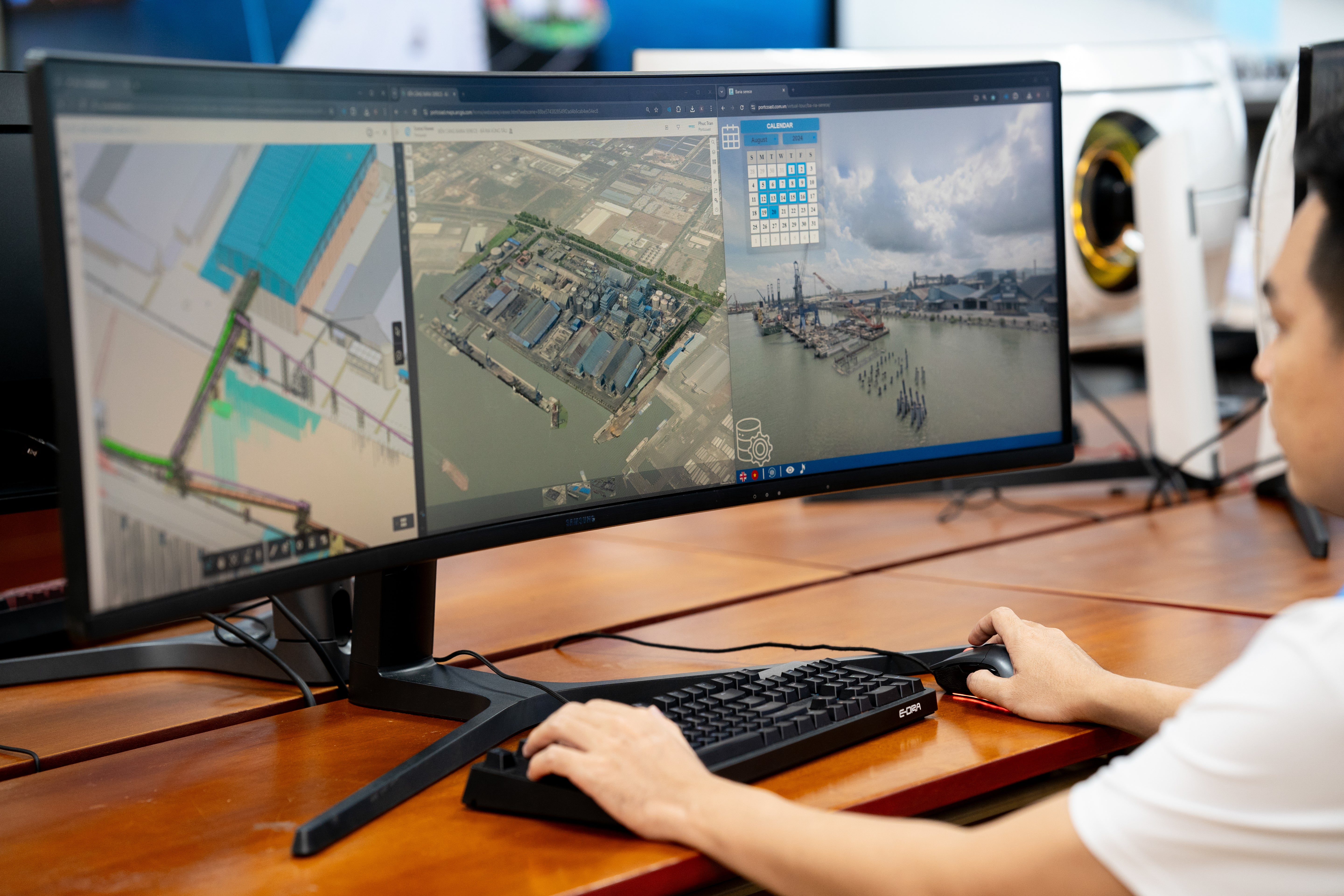
Process and Analyze
After mapping out the terrain we upload and process the collected images or data using specialized software. Analyze the visuals to identify any anomalies and compute volumetric measurements based on the captured drone data. Clients receive detailed reports and visual overlays to efficiently communicate findings to stakeholders and facilitate cost savings.
FAQs
Frequently asked question
Use this text to answer questions in as much detail as possible for your customers.