


Telecom
Thermal inspections, site survey, scans, and more. All types of cell towers.
i.e. Monopole, Lattice towers, guyed towers, stealth towers, and rooftops.
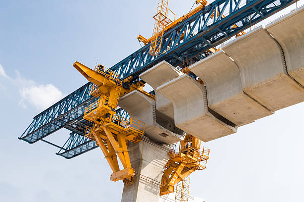
Infrastructure
With aging infrastructure, inspections become critical to understand the health of structures. Proper inspections provide valuable data which leads to valuable cost savings.
i.e. bridges, roads, railways, buildings, roofs, dams, and more.
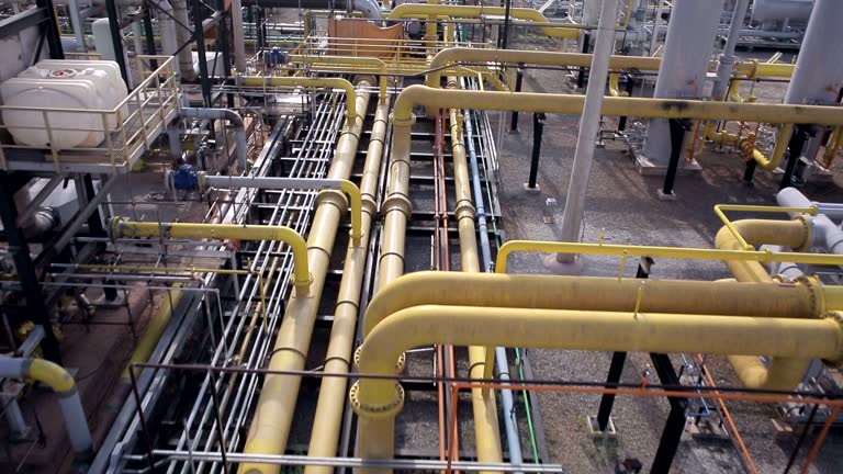
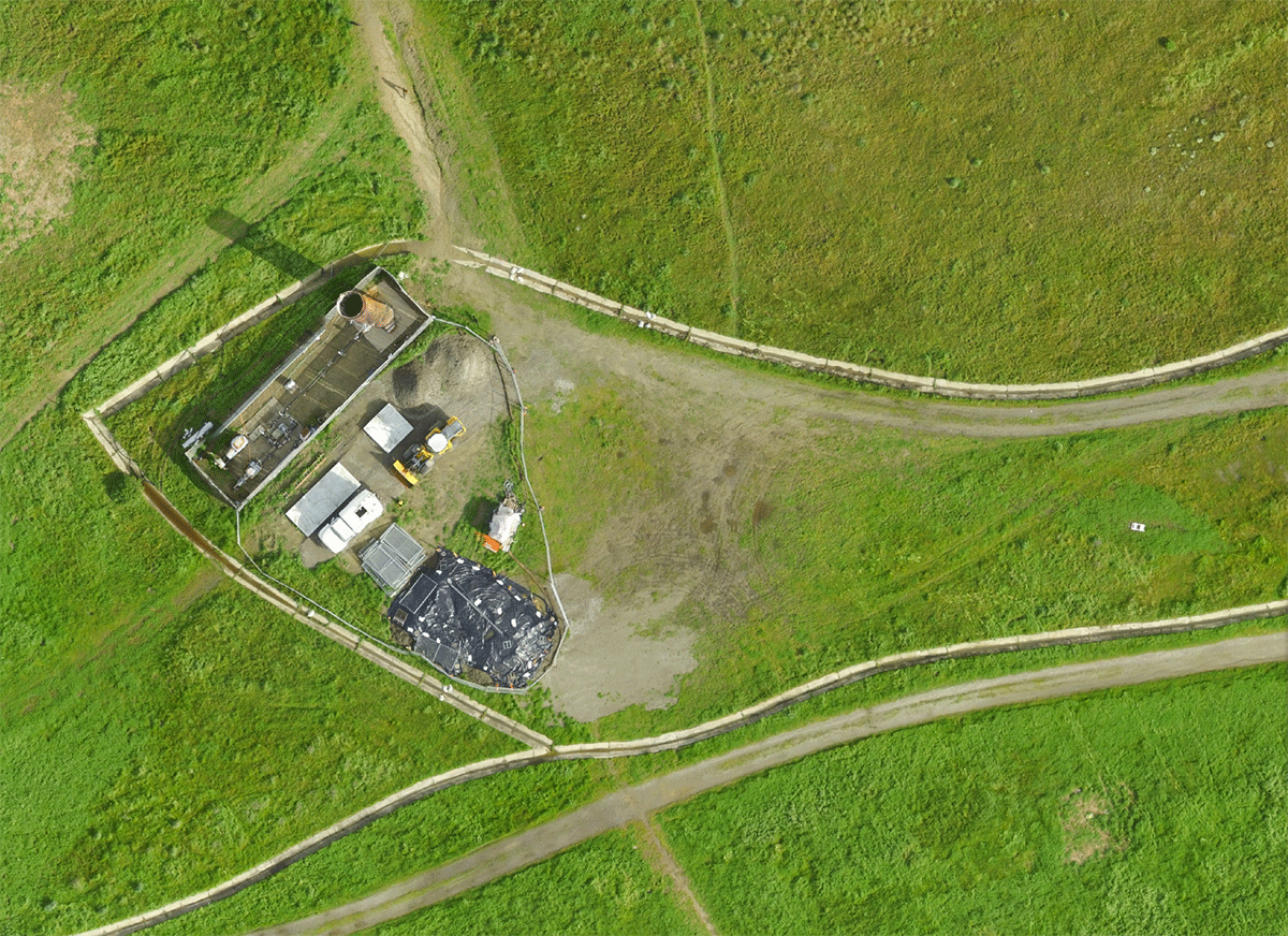
Industrial
Large operations require tedious maintenance to upkeep efficiency. Frequent inspections provide valuable insights of asset and equipment health, minimizing down time and promoting cost savings.
i.e. process piping systems, oil & gas, mining, and more.
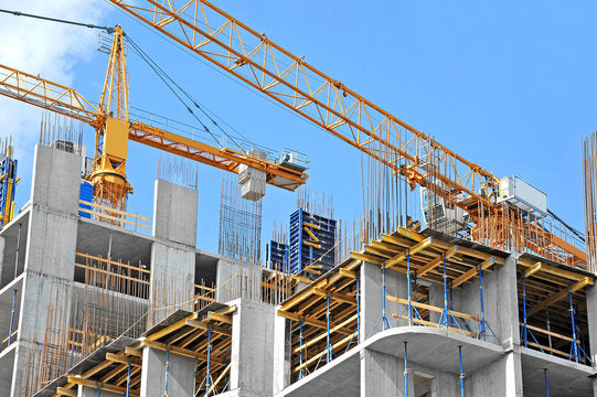
Commercial
Increase construction productivity by utilizing drone site audits to assess bottlenecks, safety issues, and inventory. Improve drawings with preconstruction surveys along with phase scans to better track project milestones.
i.e. site surveys, inventory, progress scans, structural inspections, and more.
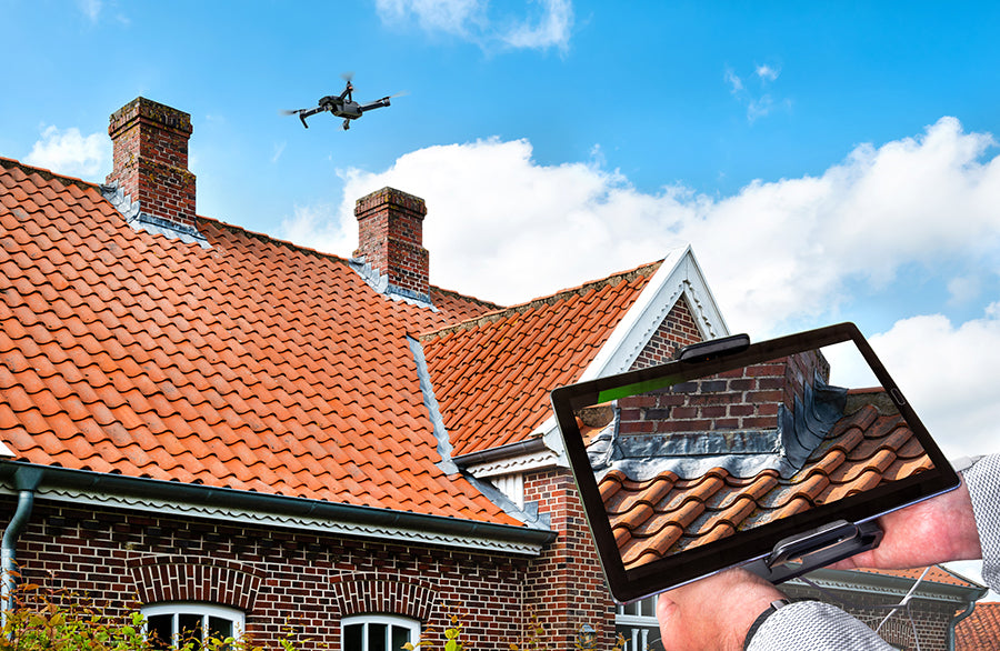
Residential
Veered towards developers, drone inspections on residential structures can provide vital information about home health, property lines, and save on preventative maintenance.
i.e. roof inspections, home site surveys, development surveys, and more.
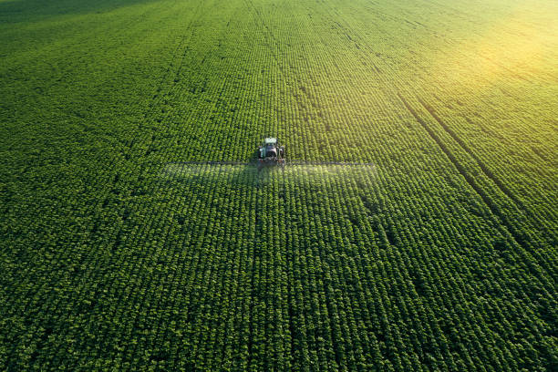
Agriculture
A farmer's asset is his/her crops. By utilizing drones, one can gain access to efficient intel about crop health, growth progress, and even ground radiation. Drones can also increase productivity by precisely delivering a myriad of fertilizers and pesticides.
i.e. spray drones, crop inspections, yield progress, and more.

Forestry
Forest inventory and management can be tedious and time consuming due to overwhelming acreage areas. Drones increase the efficiency of vital data collection by providing highly accurate, high quality data. This data facilitates effective management of forest inventories and allows rapid identification of crucial, at risk areas in remote locations.
i.e. forest inventory, brush underlayment identification, digital models, and more.
Land Survey
Significantly reduce costs and save time by using drones to automate data collection and processing of land surveys. Create high-resolution maps, point clouds, and 3D models that make digital record keeping no longer something of the future.
i.e. Lidar scanning, photogrammetry, thermal scanning, and more.